Lower Table Rock paving changed the lower loop, with summit access still a separate question
BLM reported an accessibility upgrade in March 2026. Its own visitor guide shows why an accessible lower route should not be confused with the climb to the top.
- Event / announcement date
- 2026-03-31
- Earliest linked source date
- 2026-03-31
- NewsTumble first published
- 2026-10-26T12:03:04Z
- NewsTumble updated
- 2026-10-26T12:03:04Z
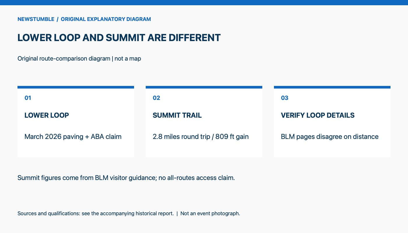
BLM reopened the Lower Table Rock-Oak Savannah Loop Trail near Medford, Oregon, after paving work, according to its March 31, 2026 announcement. The agency said the trail now met Architectural Barriers Act accessibility standards. Its claim concerns the lower route, rather than every trail on the Table Rocks. [1]
A mid-March closure allowed grading, drainage improvements and gravel-and-asphalt installation. BLM describes a route through oak savannah with panels interpreting ecology and history. The release supplies an agency compliance statement, not independent wheelchair-user testing or a measurement of increased visitation. [1]
The federal accessibility framework helps explain what such a statement covers. The U.S. Access Board's outdoor guide lists trail requirements for firm and stable surfaces, clear width, passing spaces, slopes, obstacles and resting intervals. A firm surface resists indentation; a stable one holds up under expected weather and ordinary use between maintenance. Asphalt is one possible material, but the guide also allows suitable compacted natural materials. A compliance claim therefore concerns a set of route characteristics, not simply the presence of pavement. [2]
The summit is a different journey. BLM's visitor guide describes the Lower Table Rock trail to the top as a 2.8-mile round trip gaining 809 feet, with some steep sections. It lists a further natural-surface walk on top. The same guide says drinking water is unavailable and vault toilets are at the parking area rather than the summit. Those details help separate the lower loop's accessibility announcement from the requirements of a climb above it. [3]
The agency's published route descriptions do need reconciliation. The March release calls the lower loop approximately one mile long and describes the new asphalt; the visitor guide lists the Oak Savannah Trail as half a mile round trip with gravel. Neither page explains the difference. This report therefore does not offer either figure as a verified post-project loop measurement. BLM also asks visitors to stay on existing trails and avoid the vernal pools, where soft soils and sensitive species are vulnerable to trampling. Improved access and protection of those places remain linked responsibilities. [1] [3]
The source
- Bureau of Land Management: BLM reopens Lower Table Rock trails after improvements | Bureau of Land Management ↗
Source published 2026-03-31 · reviewed October 25, 2026 · Date appears in the source release, dated statement, or Federal Register document; not taken from related-news lists. - U.S. Access Board: Chapter 10: Outdoor Developed Areas ↗
Undated reference · reviewed October 25, 2026 · No publication date is given on this context reference. Event dates, document title years and last-updated labels are not treated as original publication dates. - Bureau of Land Management: Plan Your Visit to Table Rocks Management Area | Bureau of Land Management ↗
Undated reference · reviewed October 25, 2026 · No publication date is given on this context reference. Event dates, document title years and last-updated labels are not treated as original publication dates.
About this item: Retrospective report. No first-hand reporting or independent testing is claimed. Corrections policy.