A monitoring map tracks interrupted observation
A risk label describes data collection.
- Event / announcement date
- 2026-10-28
USGS’s October 28 description of its expanded Networks at Risk mapper reaches beyond streamgages to all its monitoring locations. A threatened activity may still operate; a discontinued one has stopped; a rescued one returned to full operation. Discontinued and rescued entries remain visible for 13 months. Historical measurements remain accessible, so ending collection does not erase the archive. [1]
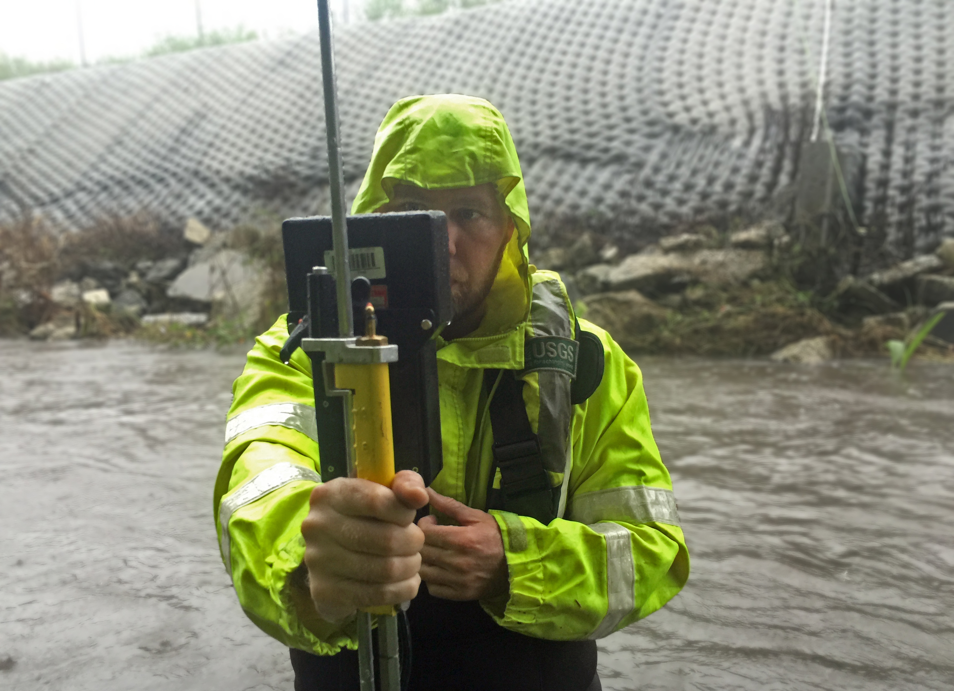
That distinction matters because an automated station is not maintenance-free. USGS’s streamgaging explanation describes water-level sensors, site-specific relationships converting level to flow, and repeated field measurements after channel changes. Streamflow feeds flood forecasts, water management and infrastructure design; a surviving historical series cannot itself provide a new observation. [2]
The agency’s separate network overview describes mixed federal and partner funding, standardized methods and provisional readings awaiting scientific review. Monitoring can be continuous, seasonal or limited to a particular study. A map status therefore needs its activity and time context; it is not a count of all rivers losing observation. [3]
The source
- USGS: Monitoring risk definitions ↗
Source date 2026-10-28 · reviewed October 29, 2026 - USGS: How a streamgage works ↗
Source date 2019-03-03 · reviewed October 29, 2026 - USGS: National monitoring network ↗
Source date 2025-03-20 · reviewed October 29, 2026
About this item: News report. No first-hand reporting or independent testing is claimed. Corrections policy.