
Cleaner positions can improve earthquake sizing
A study separates useful movement signals from noisy satellite data.
- Event / announcement date
- 2026-07-23
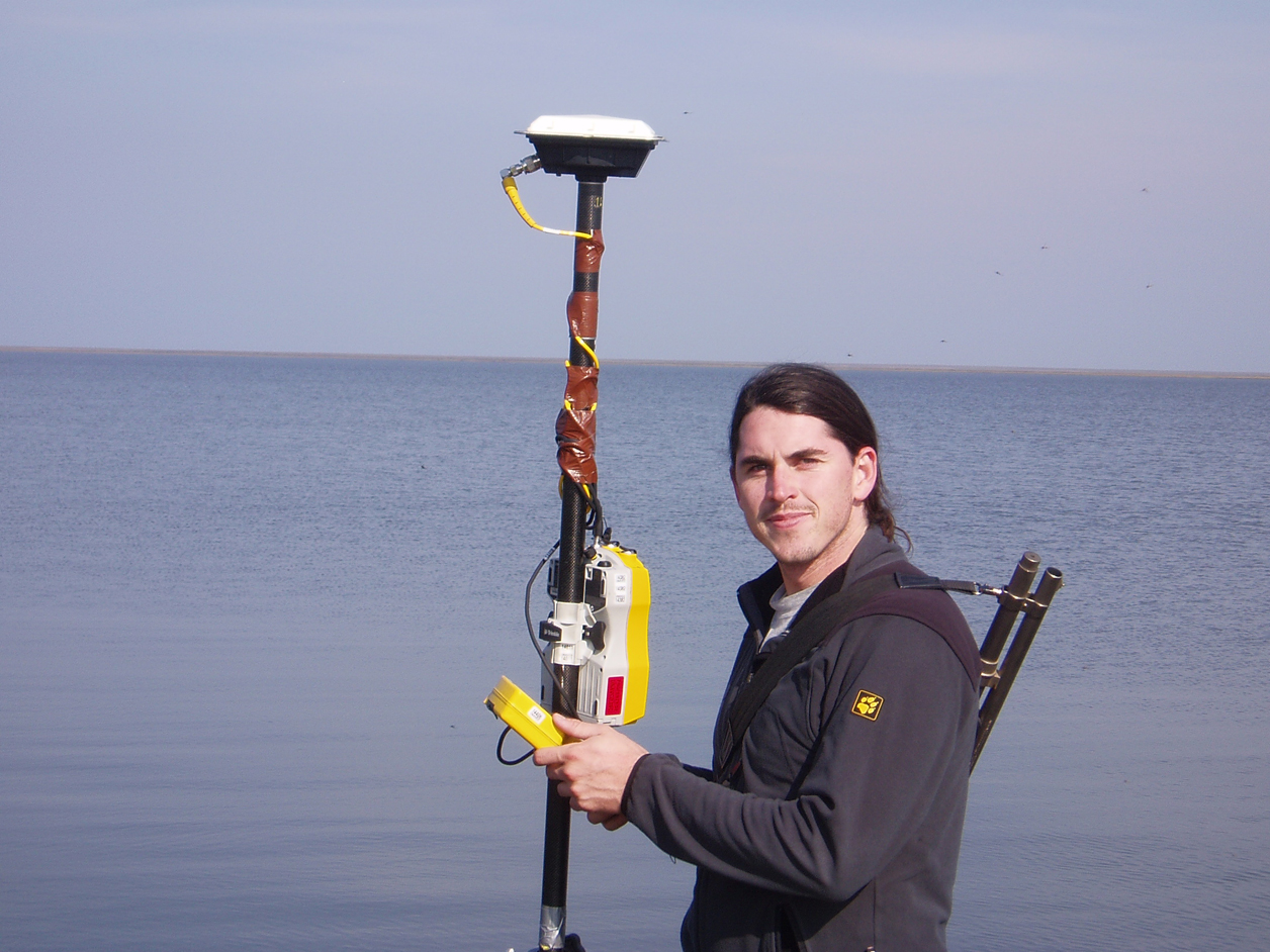
A USGS July 23 study describes filtering earthquake signals in satellite-positioning data. Such measurements avoid magnitude saturation during large ground movements, but their noise can obscure small displacements and distort real-time size estimates. [1]
The team trained on more than 700,000 synthetic displacement waveforms mixed with real noise, preserving limited real earthquake data for inference. Ridgecrest results beat a simple signal-to-noise filter, without establishing universal operational performance. [1]
ShakeAlert detects earthquakes already underway, estimates location, magnitude and shaking intensity, and partners deliver alerts. Better sizing is one step, not prediction. [2]
Warning time depends partly on distance: fast communications can outrun damaging seismic waves, while nearby communities have less time. A filtering study therefore cannot, by itself, promise every user a fixed number of warning seconds. [2]
The source
- USGS: Filtering noisy earthquake positions ↗
Source date 2026-07-23 · reviewed October 29, 2026 - USGS: Earthquake Early Warning - Overview ↗
Source date 2022-03-09 · reviewed October 29, 2026 · Date displayed on USGS overview.
About this item: Retrospective report. No first-hand reporting or independent testing is claimed. Corrections policy.