A cold bay can sit beside a warmer Pacific
Kachemak’s survey compares water layers, not interchangeable temperatures.
- Event / announcement date
- 2026-10-28
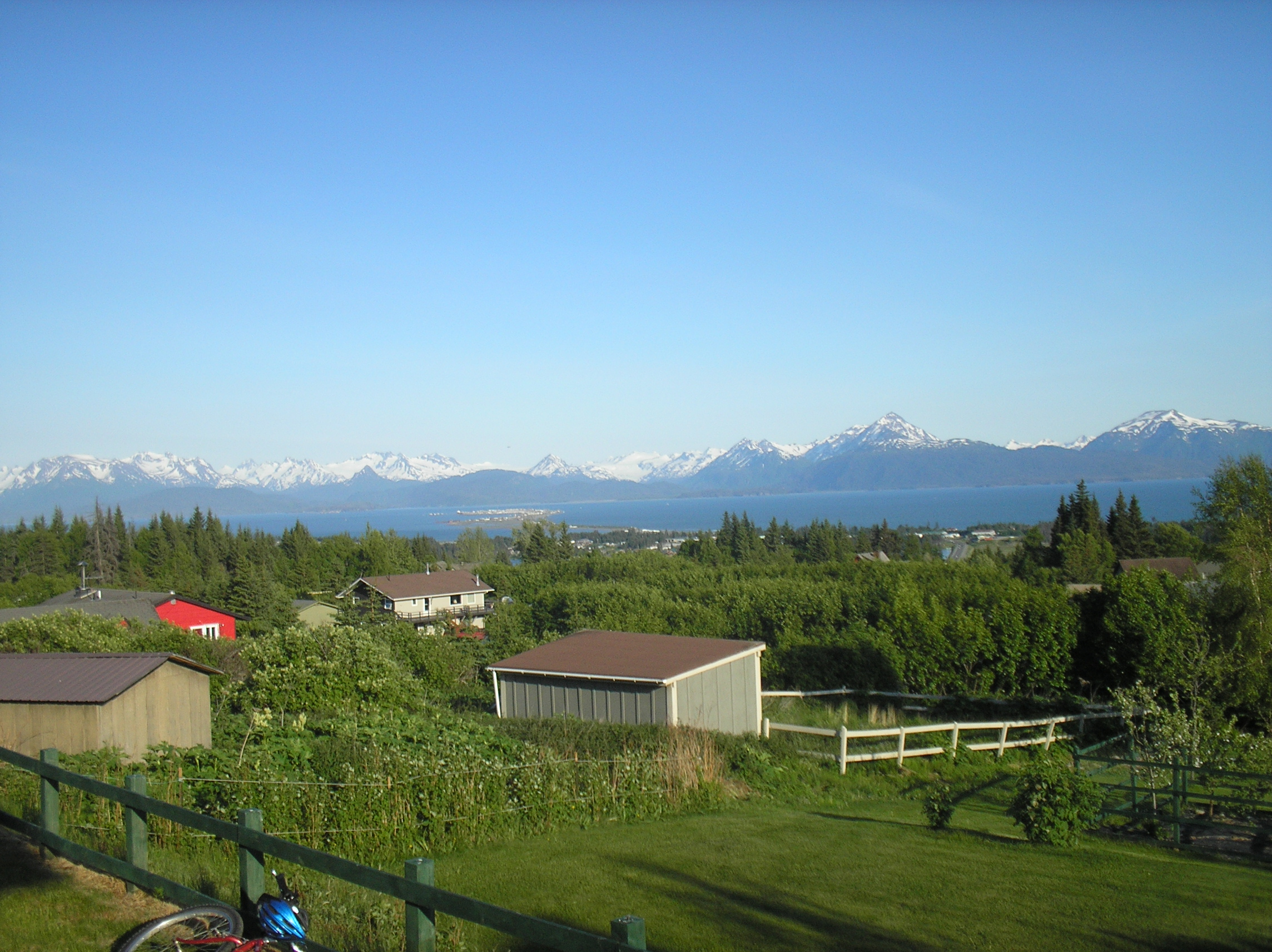
NOAA’s October 28 Kachemak Bay account reports colder-than-normal September subsurface water despite widespread North Pacific surface warming. Local surface temperatures had approached average conditions in August. The measurements describe different depths and places. [1]
A conductivity-temperature-depth instrument records changes through the water column. NOAA’s instrument guide explains that comparing temperature and salinity helps identify water masses; a surface map cannot supply the entire vertical profile. [2]
Monthly surveys began in 2012. Some March 2026 measurements fell below 1°C after a cold winter. Comparing repeated stations with seasonal averages revealed local persistence; broader surface conditions cannot describe every depth. [1]
CTD profiles help investigate marine-life distributions. Readers comparing ocean reports should check sampling depth, location and reference period. [2]
The source
- NOAA NCCOS: Kachemak Bay temperature profiles ↗
Source date 2026-10-28 · reviewed October 29, 2026 - NOAA Ocean Exploration: Conductivity temperature and depth ↗
Source date 2020-06-22 · reviewed October 29, 2026 · No publication date is given on this reference.
About this item: News report. No first-hand reporting or independent testing is claimed. Corrections policy.