
Marsh protection depends on the storm
Models describe attenuation, not a universal flood barrier.
- Event / announcement date
- 2026-10-26
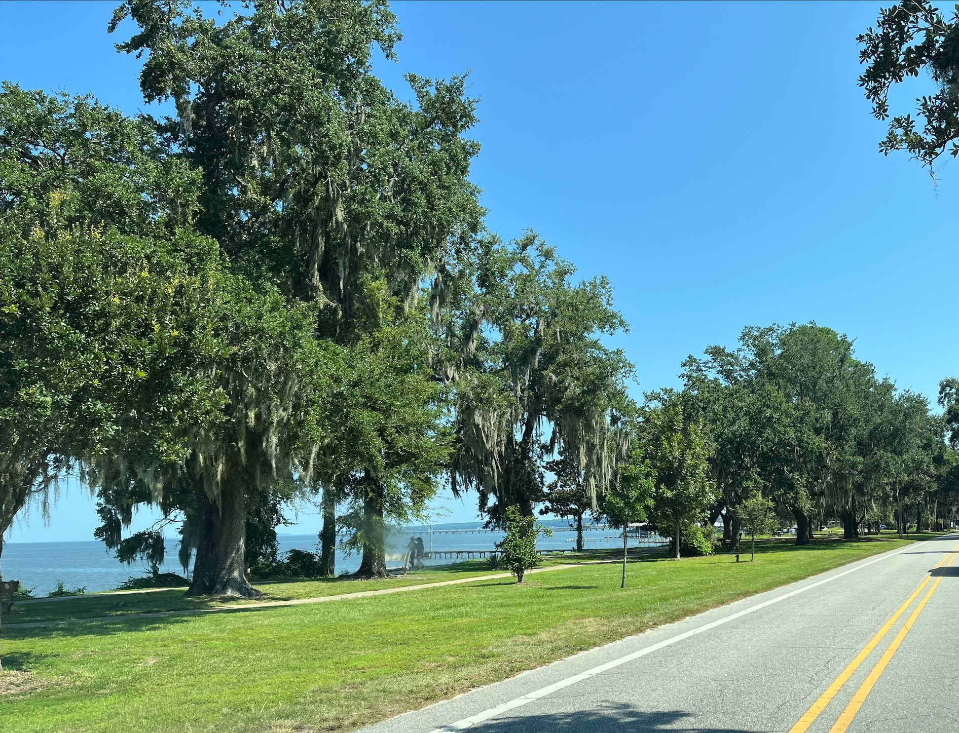
NOAA’s October 26 Mobile Bay dashboard announcement described historic and synthetic flood scenarios for 2020 and 2050 across 10 project designs. These are modeled comparisons, not observations of 2050. [1]
Compound flooding combines rain, river discharge, storm surge, waves and tides. About 40 stakeholders helped identify hotspots and scenario choices through five workshops. Those assumptions matter when comparing map outputs. [1]
A separate September 28 study simulated Hurricane Isaac in 2012, comparing vegetated and unvegetated roughness. Vegetation was represented as flow resistance. Marsh attenuation was limited under extreme conditions and stronger under reduced forcing. [2]
That model omitted stem flexibility, seasonal biomass and breakage; observed velocity data were unavailable for validation. The authors warned against treating its reductions as universal marsh performance. [2]
The source
- NOAA NCCOS: Mobile Bay flood models ↗
Source date 2026-10-26 · reviewed October 29, 2026 - Robles Camacho and colleagues: Salt marsh modeling study ↗
Source date 2026-09-28 · reviewed October 29, 2026
About this item: News report. No first-hand reporting or independent testing is claimed. Corrections policy.