Pacific coral maps guide exploration
Predicted hotspots require direct observations.
- Event / announcement date
- 2026-09-09
NOAA’s September 9, 2026 Pacific coral maps predict where diversity may be concentrated. They guide exploration rather than document a complete seafloor inventory. [1]
The models connect records for roughly 30 species with conditions including depth, temperature and oxygen. Combining species predictions identifies potential hotspots for limited remotely operated vehicle time. [1]
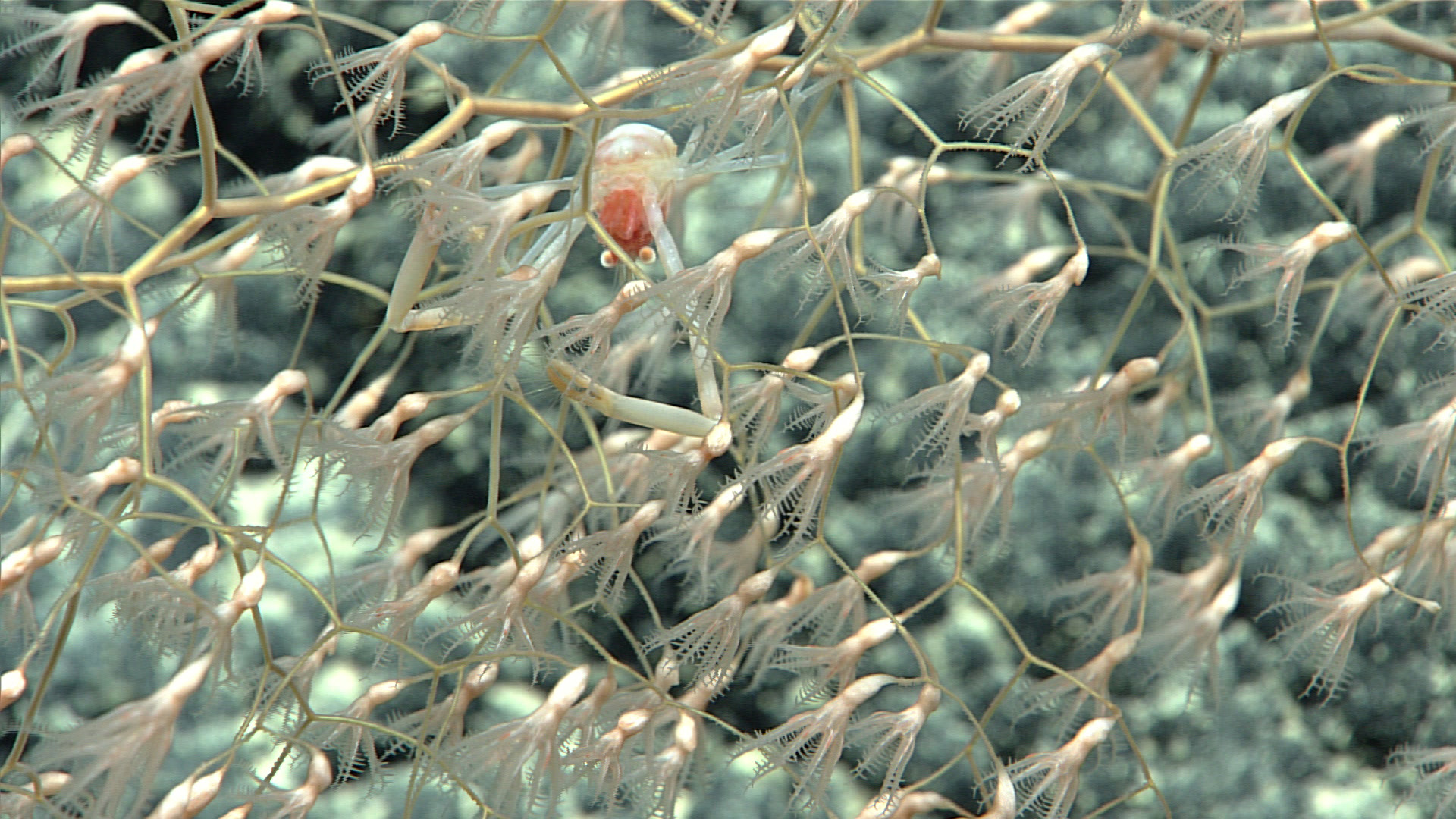
A separate NOAA Fisheries habitat reference explains the stakes: coral branches shelter fish and invertebrates. Deep-water corals feed on organisms carried by currents rather than requiring sunlight. [2]
The habitat reference describes slow growth and damage from bottom-contact fishing gear. Damaged coral groves can take hundreds of years to regenerate, if they recover at all. [2]
The September account planned to incorporate American Samoa expedition observations to refine the models. It supplied no accuracy statistic; the maps should be read as survey targets, not verified discoveries. [1]
The source
- NOAA Ocean Exploration: Predicting Pacific deep-sea coral diversity ↗
Source date 2026-09-09 · reviewed November 4, 2026 - NOAA Fisheries: Deep-sea coral habitat ↗
Source updated 2026-01-08 · reviewed November 4, 2026 · Page states Last updated on 01/08/2026; original publication date is not supplied.
About this item: Retrospective report. No first-hand reporting or independent testing is claimed. Corrections policy.