SPHEREx’s first sky map was a starting point for calibrated measurements
Retrospective: the December 2025 milestone combined broad infrared coverage with data products whose versions and calibration still matter.
- Event / announcement date
- 2025-12-18
- Earliest linked source date
- 2023-11-09
- NewsTumble first published
- 2026-10-26T21:38:22Z
- NewsTumble updated
- 2026-10-26T21:38:22Z
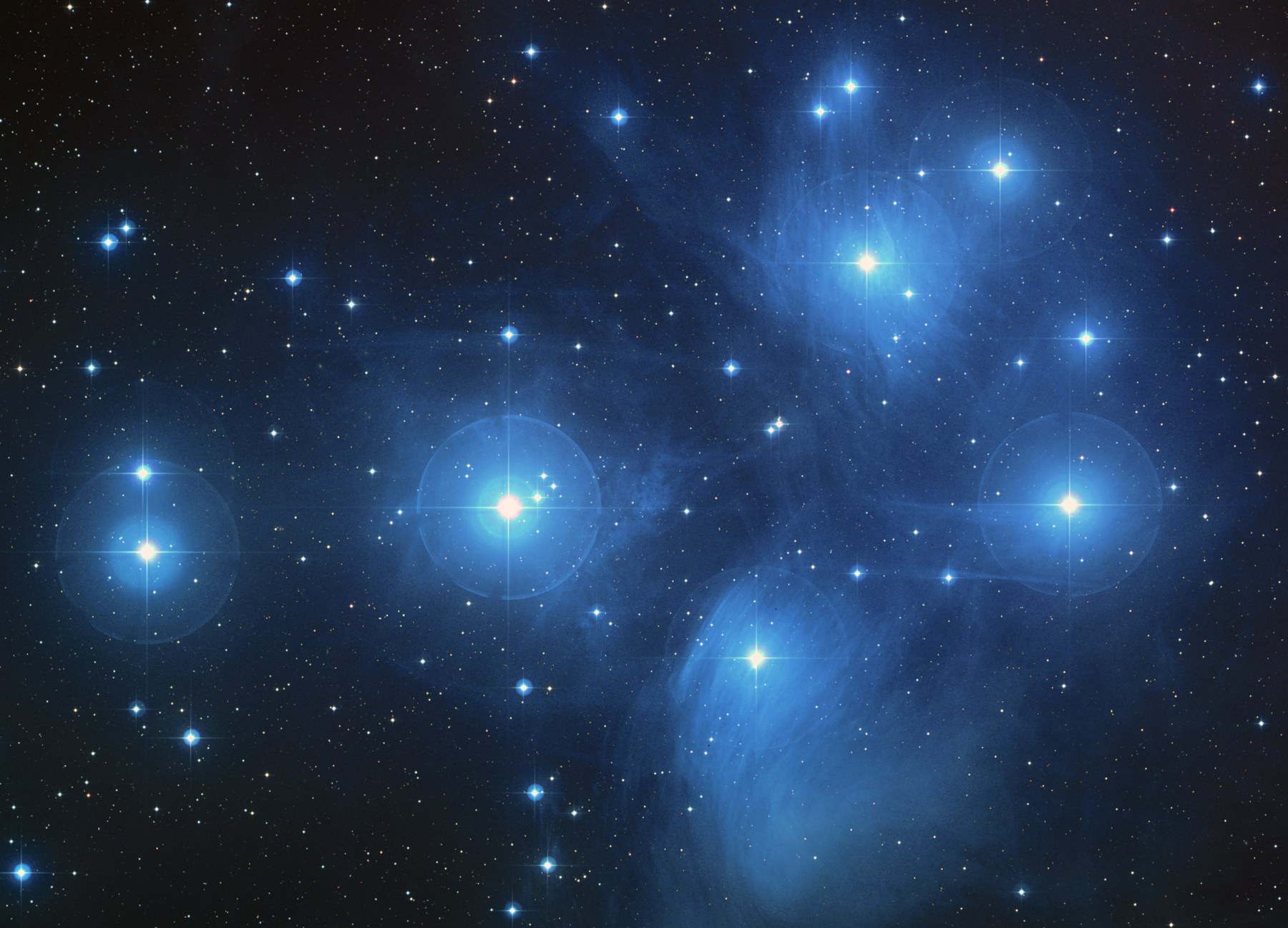
NASA announced on December 18, 2025, that SPHEREx had completed its first infrared map of the whole sky in 102 colors. Mapping began in May. The milestone was a new observational resource: the colors are infrared wavelengths, not a claim that a human observer would see the sky looking like the published composite. [1]
The observatory builds coverage through repeated passes. It circles Earth roughly fourteen and a half times daily and takes about 3,600 images a day along a strip of sky. As Earth moves around the Sun, that strip shifts, allowing the telescope to look in every direction over six months. Further scans were planned to improve measurement sensitivity. [1]
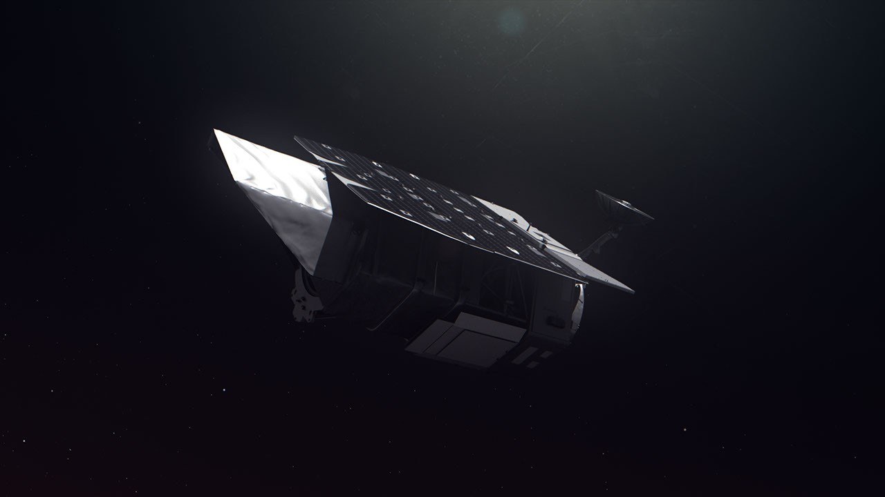
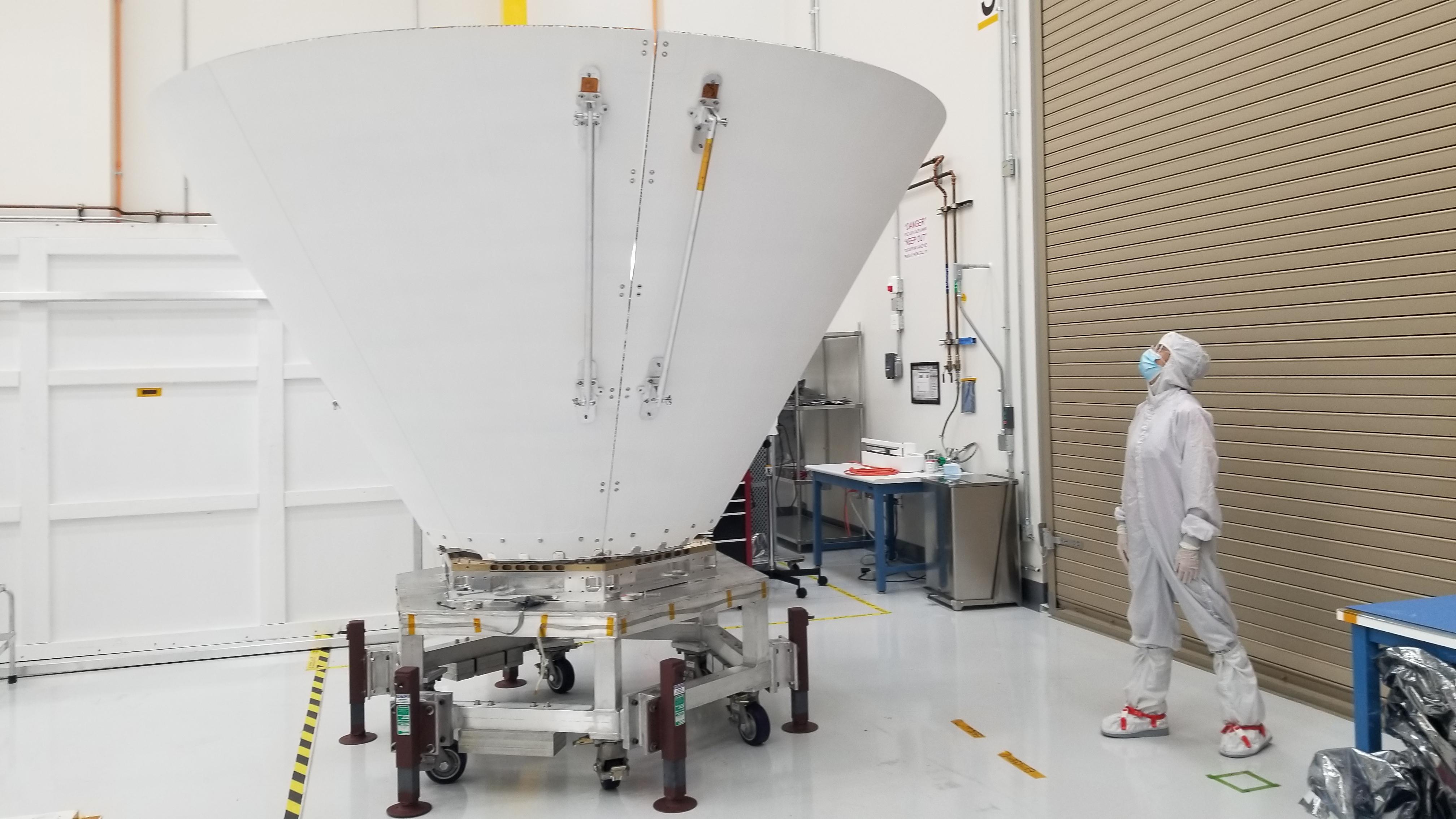
The hardware addresses a basic infrared problem: the instrument’s own warmth can overwhelm faint astronomical signals. JPL’s prelaunch description explains that nested photon shields block nearby light and heat, especially from the Sun and Earth. The shielding is part of making a measurement possible, rather than a feature that can be inferred from a colorful finished map. [2]
The archive explains how spectra are assembled: spacecraft repointing places a source at different positions behind filters whose wavelength response varies across the detector. Researchers receive more than a display image. The spectral files include status flags, variance information and a modeled zodiacal-light background; that model has not already been subtracted from the image layer. [3]
The data also have a revision history. Caltech/IPAC’s September 28, 2026, documentation records the retirement of the first quick-release version in February, corrected header descriptions in April and a third quick release beginning in September. A saved early file and the latest processed product therefore need not be equivalent. [3]
Researchers need version and calibration documentation: the guide reserves some wavelength information for visualization and recommends other calibration layers for science analysis. This retrospective did not reprocess files or test an inflation model. [3]
The source
- NASA Jet Propulsion Laboratory: First all-sky map release ↗
Source published 2025-12-18 · reviewed October 26, 2026 - NASA Jet Propulsion Laboratory: SPHEREx photon shield ↗
Source published 2023-11-09 · reviewed October 26, 2026 - Caltech/IPAC-IRSA: Spectral image documentation ↗
Source published 2026-09-28 · reviewed October 26, 2026
About this item: Retrospective report. No first-hand reporting or independent testing is claimed. Corrections policy.